These photos are from Morehead City, NC, mm 205 to Little River, SC, mm 346. Yes, the current and tide became noticable. Difficult places are Snows Cut, Cape Fear River, Lockwoods Folly Inlet and Shallotte Inlet.
Hold on LOON, here we go.

Town Creek Marina, Beaufort, NC. mm 205.
 Bridge between Beaufort and Morehead City.
 Water Tank Morehead City.
 Morehead City.
Bridge between Beaufort and Morehead City. Notice the Bridge Clearance board. Only 63 ft. at this tide. Also, I saw MANY bridges on the ICW that advertise 65 ft, BUT the Clearance board has barnicles on the numbers 65 and 64. Translate--it take a low tide to actually have 65 ft!!

 Bogue Sound. My thoughts. This ain't good. Fog.
NC State University in Morehead City.

Bogue Sound along side and south of Morehead City, NC.


Low land everywhere.

Fishing Fleet.
 Low land marsh.
 Guard tower at the North end (on the ICW) of U.S. Marine Corps Camp Lejeune. The Marines controll this part of the ICW. When it is closed for firing exercises, it is CLOSED. You anchor and wait for the all clear to proceed.
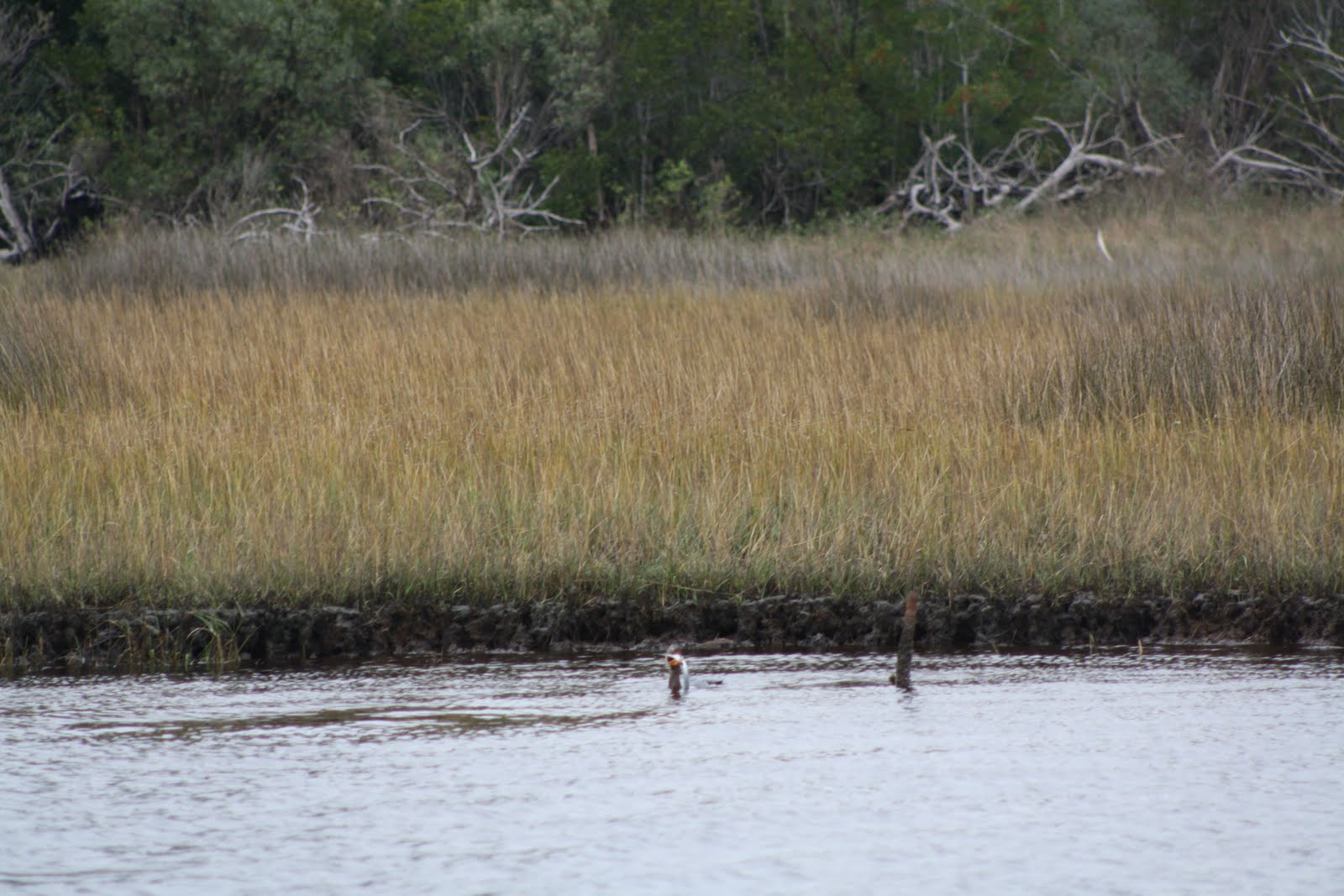
Heron looking for dinner.

Dredge near Little Topsail Inlet.

Pink House.

Pink. And yes there were green, blue and yellow ones too.

Figure Eight Is. swing bridge, mm 278.1.

Home just before Wrightsville Beach. More money than ____.

Wrightsville Beach water tower. Anchored in the harbor, current was up to 2.6 kts. I'm working on my learning curve.

Pelicans.

Wrightsville Beach water tower. mm 284.

These large houses are everywhere. After a few days you get sick of looking at them.

More large houses south of Wrightsville Beach.
 Looking down Cape Fear R.
Following Snows Cut (Bill Small we came through at 7.6 kts) a dredge in the channel leading to Cape Fear River. Always best to call so you pass on the CORRECT side.

Army's Military Ocean Terminal at Sunny Pt. on Cape Fear R. The largest ammunition port in the U.S. Look at the size of the crains in relation to the buildings!

Fishers Is.Ferry on Cape Fear River.

Southport Marina.

Southport Marina, Cape Fear, NC. mm 309.

Cape Fear Light House.

Cape Fear Light House.

Pelicans.

Lockwoods Folly Inlet, NC, mm 321.

Looking out to sea (East) at Lockwoods Folly Inlet.

Trailer Park on the ICW near Shallotte Inlet, NC.


Shrimp boat?

Advertisement for Tow Boat US. These as Sea Tow are along the ICW. Also, you hear these guys on the VHF all day.

Took this picture to show how tall the pilings are along the ICW.
Storm Surge maybe.

Is this "green" daymark really a green? Answer, Yes. The little yellow square (just above the numbder 99) on the green mark indicates it is a "green" under the ICW marking system.
Reds have yellow triangles.

Sunset Beach Pontoon Bridge, mm 337.9.

Pontoon Bridge open. When the bridge opens you are not allowed to pass until the bridge tender radios ok.

Salt water Goats?

Approaching Little River, SC, mile mkr 346. Offshore gambling boats.

Bad news. Little River, SC.
That's it for now. Next, Little R. to Beaufort, SC. Tides and currents!!